NASA is using advanced technologies like artificial intelligence (AI) and open science principles to improve how the world prepares for, responds to, and recovers from disasters. From hurricanes and wildfires to earthquakes and floods, NASA’s data and tools help governments, communities, and scientists understand disasters better and make faster decisions.
Here’s how NASA is combining AI and open science to protect people and the planet.
The Role of NASA in Disaster Management
NASA isn’t just about exploring space—it also observes Earth from orbit. Satellites provide critical data on:
- Weather patterns, storms, and rainfall
- Wildfire hotspots and smoke movement
- Earthquakes, landslides, and volcanic activity
- Flooding and coastal changes
This information is vital for disaster monitoring, predicting impacts, and guiding emergency response teams.
Artificial Intelligence in Disaster Research
AI allows NASA to process huge amounts of data quickly and extract meaningful insights. Applications include:
- Predicting Storm Paths: Machine learning models analyze satellite imagery to forecast hurricanes and cyclones more accurately
- Wildfire Detection: AI identifies early fire activity and predicts how fires will spread
- Flood Mapping: Satellite data combined with AI models predicts flood extent and affected areas
- Earthquake Risk Analysis: AI examines seismic patterns to help assess potential risks
AI reduces the time it takes to turn raw satellite data into actionable information, which can save lives during disasters.
Open Science and Data Sharing
NASA promotes open science by making its data freely available to researchers, governments, and the public. Key benefits include:
- Global Collaboration: Scientists worldwide can access data and contribute to research
- Faster Innovation: Open access allows new tools, models, and solutions to be developed quickly
- Education and Outreach: Students and educators use NASA data for learning and simulations
- Disaster Response: Governments and NGOs can use real-time data to plan evacuations and allocate resources
By sharing data openly, NASA ensures that disaster research and recovery benefit everyone.
Key NASA Tools for Disaster Response
NASA has developed several platforms and tools to help monitor disasters:
- Earth Observing System (EOS): Satellites provide continuous data on Earth’s surface and atmosphere
- Disaster Mapping Tools: Platforms like SERVIR combine satellite imagery and local data to visualize disaster impacts
- Earthdata: A portal where users can access and analyze NASA’s vast collection of Earth science data
- Applied Sciences Program: Works with communities and governments to apply NASA data for disaster risk reduction
These tools make it easier for decision-makers to act quickly and effectively during emergencies.
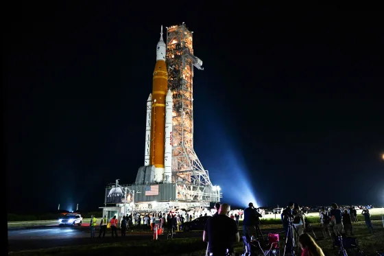
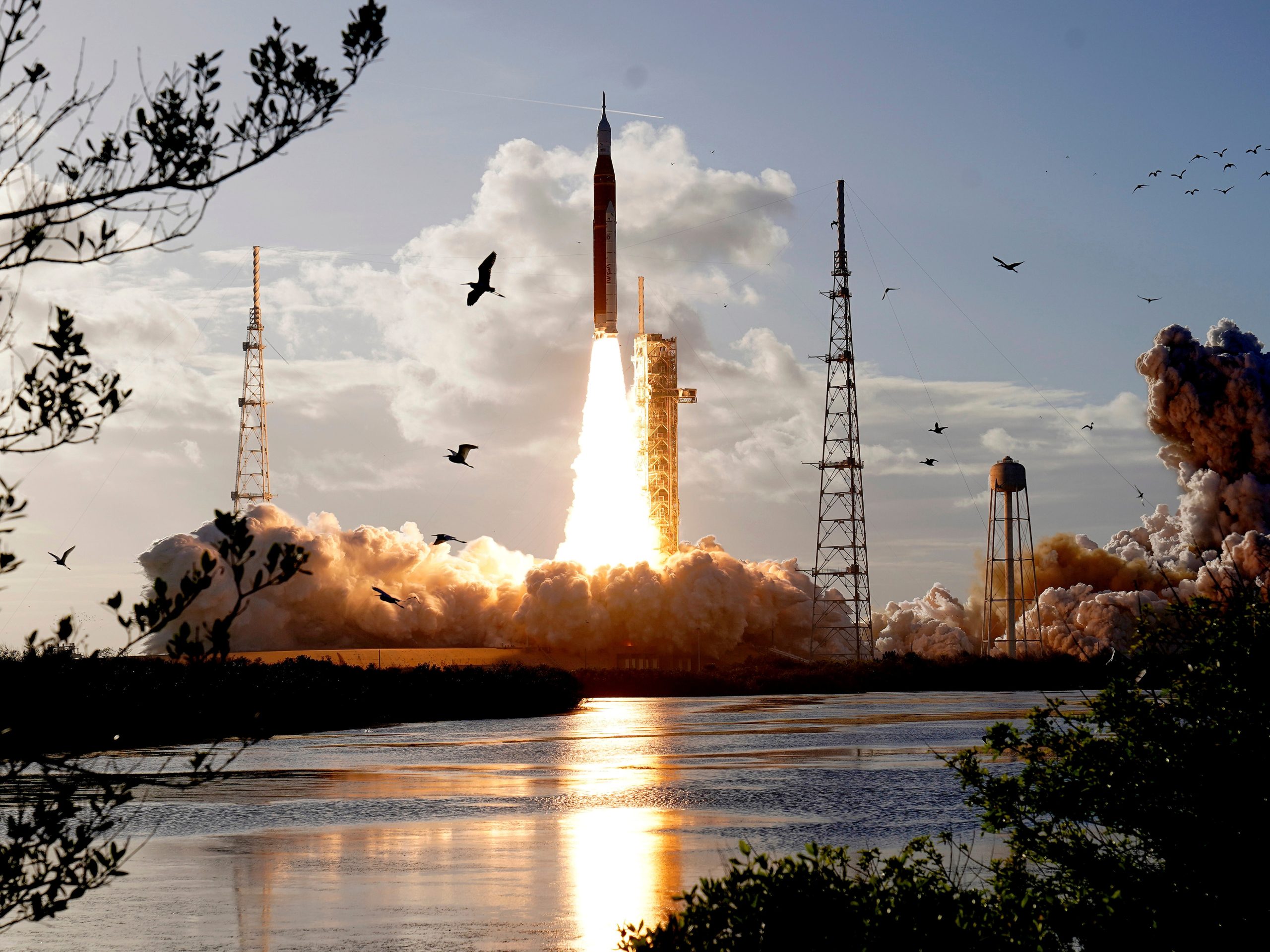
NASA Leverages AI and Open Science to Improve Disaster Research and Recovery
Case Studies: AI and Open Science in Action
Wildfires
NASA satellites detect hotspots and smoke plumes. AI models predict fire spread, helping firefighters deploy resources strategically and warn nearby communities.
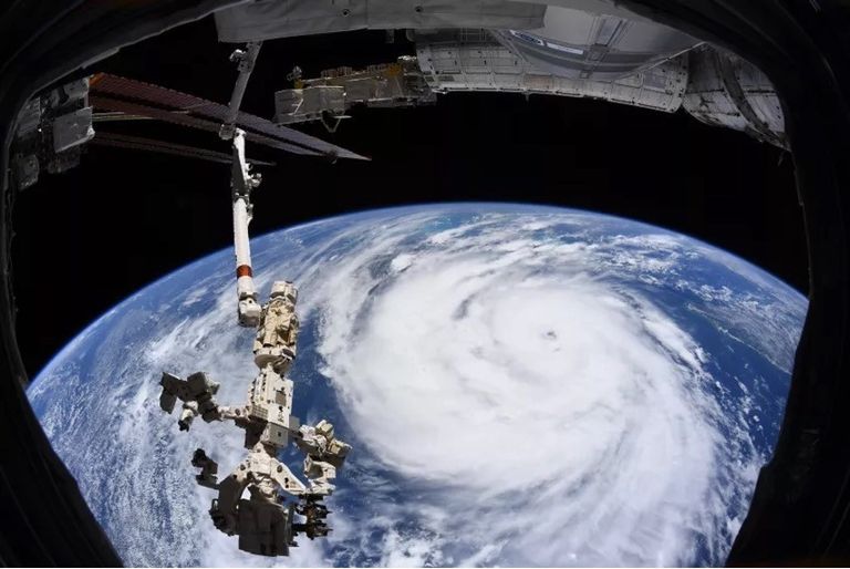
Hurricanes and Floods
By analyzing satellite imagery, rainfall patterns, and ocean temperatures, NASA AI systems forecast storm paths and potential flooding zones. Emergency agencies use this data to plan evacuations and relief efforts.
Earthquakes and Landslides
NASA’s open seismic and topography data allow researchers to map high-risk areas, model potential impacts, and improve building codes and infrastructure planning.
Supporting Communities and Governments
NASA’s work benefits local and national agencies by:
- Providing early warning systems for natural disasters
- Offering training on interpreting satellite data
- Collaborating with international partners to share knowledge and technology
- Assisting in long-term recovery planning using historical and real-time data
This approach ensures that NASA’s research has practical, real-world impact.
Future Directions
NASA continues to enhance disaster research and recovery through:
- Improved AI algorithms for faster and more accurate predictions
- Integration of drone and aerial data with satellite observations
- Expanding open science initiatives to include more global partners
- Developing user-friendly platforms for emergency managers and policymakers
The goal is to make disaster preparedness smarter, faster, and more accessible worldwide.
Why NASA’s Approach Matters
Natural disasters are becoming more frequent and intense due to climate change. NASA’s combination of AI, open science, and satellite monitoring provides:
- Timely Alerts: Faster identification and tracking of disasters
- Informed Decisions: Data-driven insights for emergency response
- Global Collaboration: Shared tools and knowledge across countries
- Long-Term Planning: Better understanding of risks and recovery strategies
By applying space technology to Earth, NASA helps protect communities, save lives, and reduce economic losses.
Conclusion
NASA’s use of AI and open science is transforming disaster research and recovery. From wildfires and hurricanes to floods and earthquakes, NASA’s satellites, data, and AI tools provide critical insights that help governments, scientists, and communities respond effectively.
By sharing data openly and developing innovative AI models, NASA ensures that the lessons learned from space technology benefit people on Earth, making the planet safer and more resilient.
Read Also: Keep your face towards the sunshine and shadows will fall behind you
Watch Also: https://www.youtube.com/@TravelsofTheWorld24


Leave a Reply